
Lagaam Human-Wildlife Conflict Prevention
Combines field reports, GPS-tagged sightings and edge-AI alerts to help teams respond to wildlife-risk events.
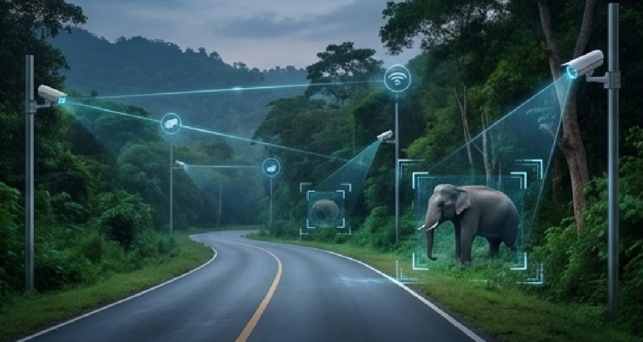
Combines field reports, GPS-tagged sightings and edge-AI alerts to help teams respond to wildlife-risk events.
The solution is available to departments in every state and union territory across India. Deployments are configured to each department's workflows, data policies and existing systems.
Capabilities
- 01Helps surface reported wildlife sightings with location context.
- 02Supports quicker notification to relevant field teams.
- 03Creates a record of incidents and response actions.
- 04Helps identify recurring risk locations and time patterns.
- 05Supports coordinated prevention planning near vulnerable areas.
More in Environment & Disaster Resilience
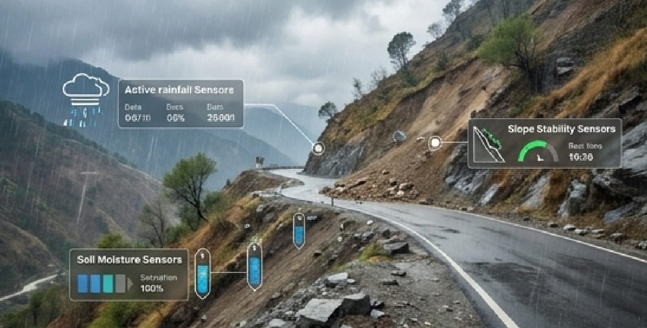
Hill Infrastructure & Landslide Risk Monitoring
Integrates environmental sensors with road-camera observations to prioritise field checks and response to landslide risks.
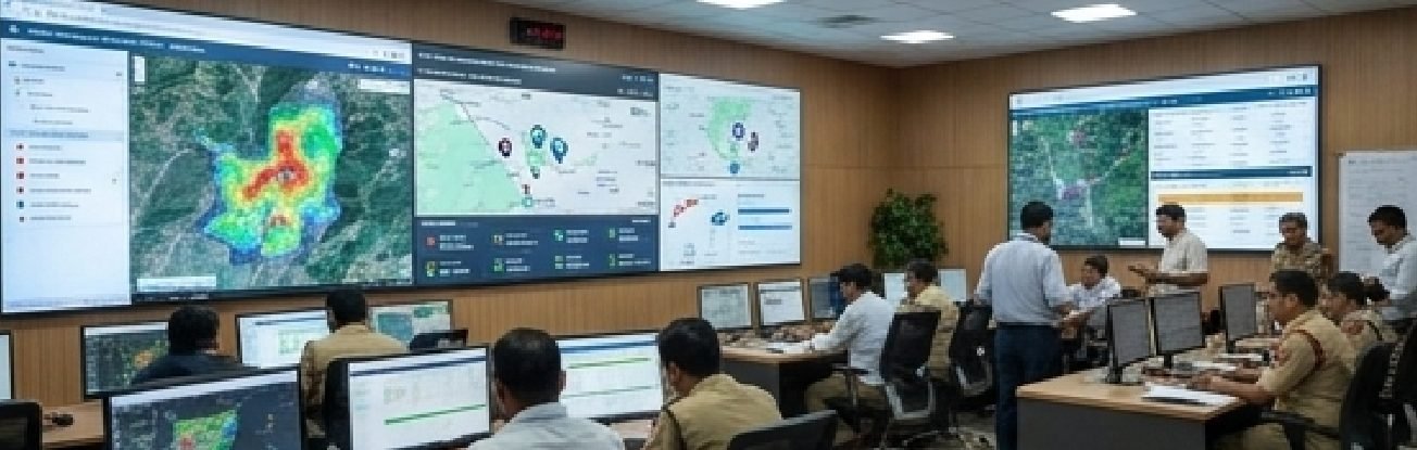
Disaster Management & Emergency Response Intelligence
Unifies incident reports, tracks GPS-enabled response vehicles and coordinates task assignments for floods, fires and landslides.
Pilot this in your district.
We scope with your department, deploy on a bounded area and report results against an agreed baseline.