
Lagaam Disaster Management & Emergency Response Intelligence
Unifies incident reports, tracks GPS-enabled response vehicles and coordinates task assignments for floods, fires and landslides.
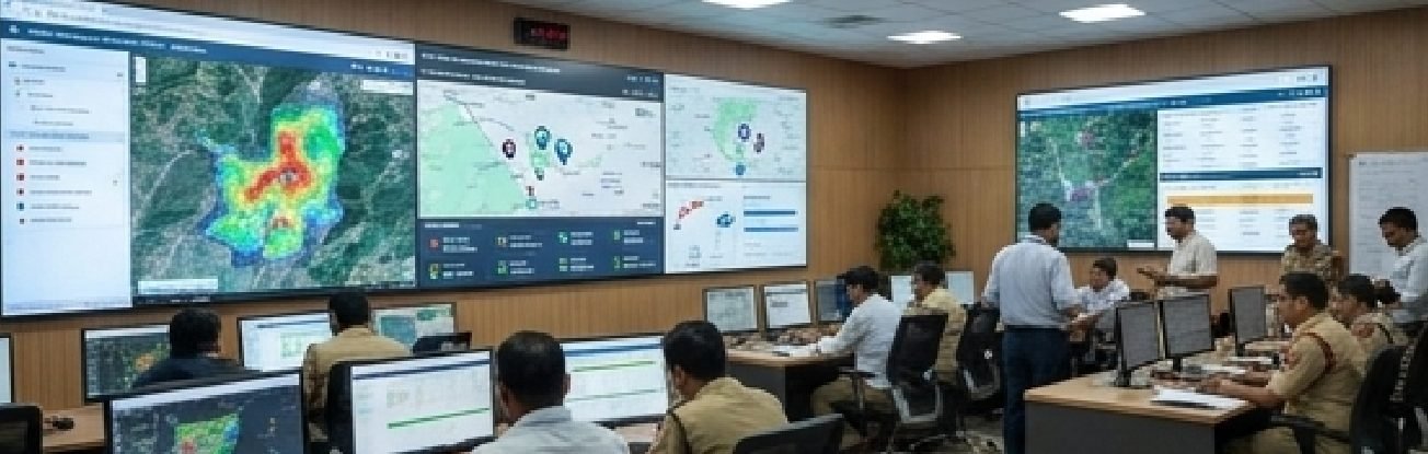
Unifies incident reports, tracks GPS-enabled response vehicles and coordinates task assignments for floods, fires and landslides.
The solution is available to departments in every state and union territory across India. Deployments are configured to each department's workflows, data policies and existing systems.
Capabilities
- 01Centralises incident reports and response-team information.
- 02Improves visibility into responder and vehicle locations.
- 03Supports task assignment and incident follow-up.
- 04Helps control rooms coordinate information across teams.
- 05Creates an incident timeline for after-action review.
More in Environment & Disaster Resilience
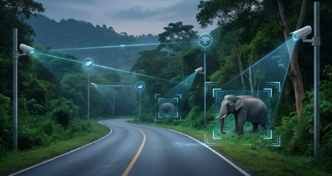
Human-Wildlife Conflict Prevention
Combines field reports, GPS-tagged sightings and edge-AI alerts to help teams respond to wildlife-risk events.
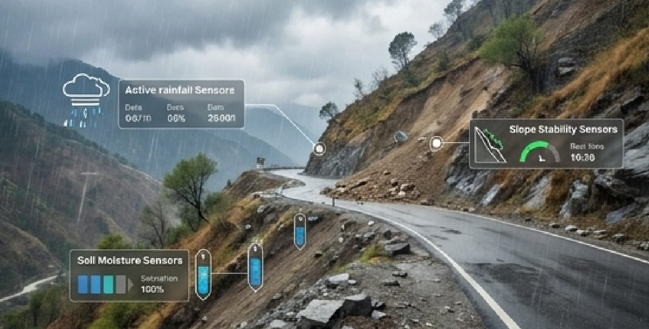
Hill Infrastructure & Landslide Risk Monitoring
Integrates environmental sensors with road-camera observations to prioritise field checks and response to landslide risks.
Pilot this in your district.
We scope with your department, deploy on a bounded area and report results against an agreed baseline.